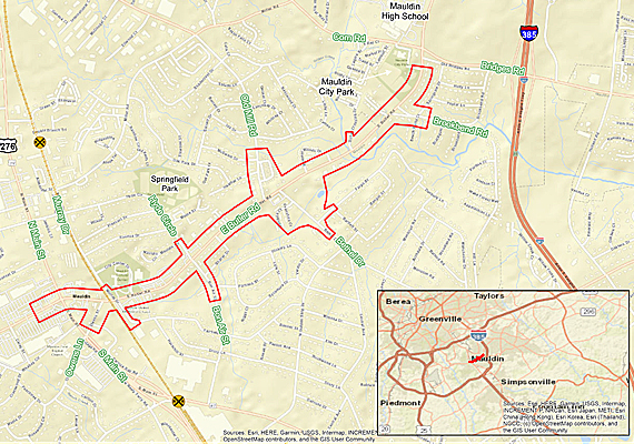


The purpose of the project is to improve the operational efficiency, including improvements to the existing bicycle-pedestrian (bike-ped) facilities, along East Butler Road between US 276 (N. Main Street) to the Mauldin Senior Center entrance.
The South Carolina Department of Transportation (SCDOT), in conjunction with the Greenville-Pickens Area Transportation Study (GPATS), City of Mauldin, and the Federal Highway Administration (FHWA) propose to improve Butler Road (S-107) in the city of Mauldin for approximately 1.7 miles from the Mauldin Senior Center entrance to US 276 (N. Main Street). The project is located about 1 mile south of the I-385 interchange at Butler Road in Greenville County.
Based on the purpose and need and preliminary traffic findings, the following are potential improvements to the Butler Road corridor:
| Impact category | Total anticipated impact |
|---|---|
| New right-of-way (acres) | 10 |
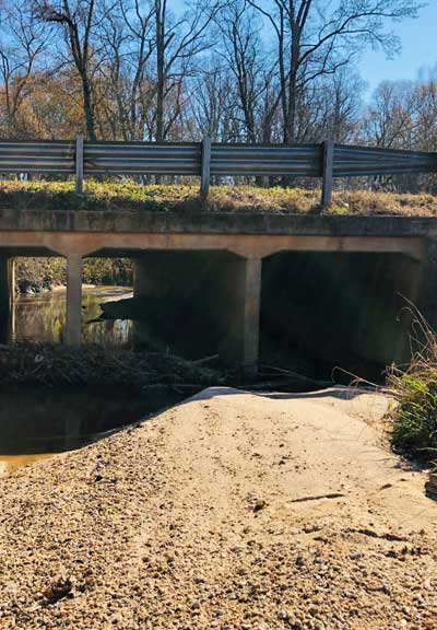
| Stream impacts (linear feet) | 382 |
| Wetland impacts (acres) | 0.10 |
| Possible relocations | 7 |
| Hazardous materials sites | 5 |
| Floodplain impacts (acres) | 1.8 |
| Cultural resources | 1 |
| Public Information Meeting: | November 2021 |
| Environmental Document Approval: | July 2022 |
| Finalize Right-of-Way Design Plans: | February 2023 |
| Right-of-Way Acquisition: | TBD* |
| Finalize Construction Plans: | July 2023 |
| * Pending funding approval at the February GPATS Policy Committee meeting. | |
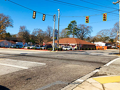
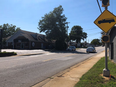
Hyde Cir. Intersection
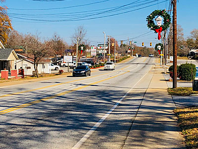
Butler Rd. Corridor; Existing Sidewalk
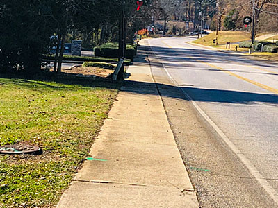
Butler Rd. Corridor; Existing Sidewalk
Butler Rd.